
Finding Lincoln County Property Neighbors
A neighbor lookup in Lincoln County relies on two tools. It pairs the county-linked GIS map with the statewide assessment roll. The map settles adjacency. It shows which parcels touch the subject lot and which merely sit close. The roll then supplies each owner of record tied to a parcel number. There is no one-click report of adjacent owners. Select nearby shapes one at a time. Record each parcel ID. Fall back on the recorded plat when the map alone leaves a lot and block unclear.
| Source | What It Shows About a Block | Access |
|---|---|---|
| County-linked GIS | Parcel shapes and adjacent parcel numbers | Lincoln County GIS page and linked map |
| Assessment detail | Owner, mailing address, community, and parcel fields | Free statewide WV Property Viewer |
| Recorded plat | Lot, block, subdivision, and plat reference | County Clerk Plat Maps category; compare with GIS |
| Local history sources | Possible past block context; specific runs are unverified | Ask the Hamlin-Lincoln County library |
The parcel roll names owners, not residents. No record set lists everyone living at an address. Watch the mailing address, too. It can differ from the parcel's physical street address, and a short result list may show one owner while the detail card carries more context.
Treat the block as tax parcels you pick on the map. A single Lincoln County roster of block owners does not exist. County roads curve through districts. Streams can split nearby shapes, and a parcel can be close without ever touching the subject lot. Decide the real question first. Is it direct adjacency or merely nearby land? From there, hold a consistent map distance and keep the parcel IDs that back the answer.
Lincoln County Parcel Adjacency Tools
Need the lots bordering a tract? The WV Property Viewer makes that fairly simple. Its toolkit includes Identify, Highlight, Copy Link, Download KMZ, and a geometry buffer. Coordinates work too. Buffer distances are set by the viewer. The county-linked ArcGIS application may arrange its controls differently, so expect some variation between the two. Start by selecting the subject parcel. Then run Identify on every shape touching it. It also covers anything sitting inside the buffer zone you care about.
The official route to the county map is the Lincoln County GIS page. For documented selection and export tools, the statewide parcel viewer is the stronger option. The Lincoln County GIS landing page also connects you straight to the parcel map. That map sits behind a block search.
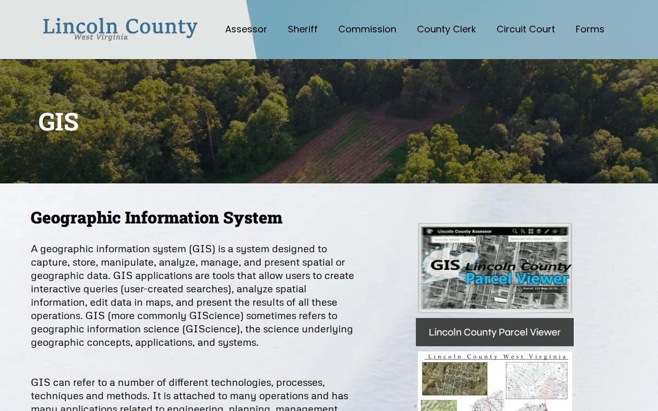
Open the linked map and find the subject lot. Keep its parcel number in view while you check each neighboring shape.
Mapping a Lincoln County Block
Begin with the subject parcel. Skip the street-wide list. A road can curve, and it can cross a district line. It may also carry a postal name far past a town boundary. Only the map shows which tax parcels touch the subject lot. Neighboring lots may sit merely close by. After that, the owner search becomes a series of parcel checks. That beats a guess from a nearby address.
- Search the subject’s E-911 address or parcel number and open the map.
- Use Identify or Highlight on each touching or nearby parcel and copy its number.
- Open each parcel detail to read its owner and mailing address.
- Compare the parcel group to a recorded plat when the lot layout needs a name.
- Parcel / APN
- The map and assessment key for one tax lot.
- Adjacent parcel
- A parcel that shares an edge with the subject land.
- Buffer
- A geometry search around a point or parcel; its unit choice depends on the viewer.
- Plat
- A recorded map that shows named lots, blocks, or divisions.
The statewide parcel screen shows the selection controls available for the map check.
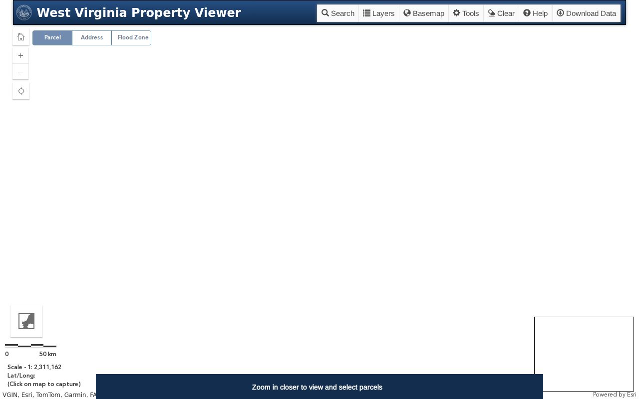
Open the detail card for every parcel you select. The map list often shows just one owner and a physical address, so a block review works in three layers: the subject parcel, the adjacent tax-map shapes, and each neighbor's assessment card.
The card adds context. It can carry a community name, the full parcel number, a description, building information, values, and delinquent status. It still will not show every occupant. Nor does it list every legal interest. Overlapping shapes deserve a closer look. Compare the recorded plat rather than trusting the screen as a measured survey.
Highlight, Copy Link, KMZ export, and CSV keep a selected parcel set organized and revisitable. The selection is a research aid, not a certified street roster. The general viewer skips mineral parcels. Lincoln County publishes no HOA or subdivision-owner layer. For a shared private road or association question, pull the recorded plat, declaration, or deed reference through the County Clerk.
Lincoln County Owner Detail Per Parcel
The short result list is thin. It shows one owner and a physical address. The opened detail card goes further, with the owner, E-911 address, community, parcel number, description, values, and sometimes a different mailing address. That detail matters. A company, trust, co-owner, or estate can stand in for a single person on a block full of parcels.
For each nearby lot, compare the physical address, parcel ID, and community before carrying the name anywhere else. The current owner record explains how to confirm one parcel's present owner. This workflow repeats it for the lots nearby.
Lincoln County Plats and Block Names
Plat maps answer what address labels cannot. They show how a group of lots was laid out together. The County Clerk records plats as a land-record category. Neither Hamlin nor West Hamlin publishes a searchable subdivision-name roster. Never attach a marketing neighborhood name to a block unless a recorded plat supports it.
Start in GIS. Select the parcels of interest. Then open the matching Clerk map and copy the plat name, lot and block, recording date, and reference. Keep those details with the image or Clerk copy.
Plats and deeds serve different purposes. A plat shows how lots relate to a street, while a deed links one lot to its owners over time. Labels can disagree. If the map and the deed use different lot labels, record both. Ask the Clerk which recorded map controls the notation.
When a plat is cited, compare its north arrow, lot number, street line, and adjoining lots against the GIS selection. A plat can reveal whether a neighbor sits across a common drive or on a shared line. The assessment map may blur those details. Lincoln County's recording index lists plat maps among its land-record categories. The focused Lincoln County parcel-map page explains the map and deed limits for a single parcel.
Hamlin and West Hamlin Parcel Edges
Adjacency work in Hamlin or West Hamlin takes both the map and the address labels, because postal codes can mislead. Hamlin's 25523 and West Hamlin's 25571 are mailing clues only, never proof of a boundary. Hamlin sits on the Mud River. It doubles as the county seat. West Hamlin is a separate incorporated town on the Guyandotte River. Rural parcels can sit near either town. Many fall entirely outside the municipal limits. The map shows which tax parcel touches another, but it never settles which town serves an address or where the legal boundary runs.
Lincoln County Delinquent Parcel Flags
Delinquent land sits on its own layer in the statewide viewer. That layer updates weekly. Assessment attributes update just once a year. The timing gap matters when a neighbor's parcel carries a flag. A flag is a tax lead, nothing more. It says nothing about title, occupancy, or a completed sale.
Confirm the account with the Sheriff's Tax Office. Check the State Auditor's redemption information before treating any map flag as current. Keep the layer separate from the adjacent-owner list. A parcel can sit beside the subject while sharing no owner, tax status, or legal relationship. Check each selection against its own parcel card. Match each flag to parcel, district, and tax year.
The Sheriff's Tax Office page is the local starting point for a bill or payment discrepancy; ask the office for its current paper or computer account record.
Lincoln County Neighbor Lookup Limits
A parcel map proves adjacency and nothing else. It cannot name everyone living at a home or show that the listed owner resides there. A map line is not a survey. Result lists may omit co-owners. A postal name does not define a town edge either, so use surrounding-owner records for boundary questions, property diligence, or civic work.
Lawful use. A Lincoln County neighbor lookup is for land and block research. Do not use an owner name or address to watch, target, threaten, or harass anyone.