
Starting a Lincoln County Property Search
The WV Property Viewer gives you three routes in. These are E-911 address search, county parcel-attribute search, and map-based tools. Start with the address if the property has a known site address. Open the parcel card. Note the owner, physical address, community, parcel number, and legal description. A result may look close but not certain. Compare the location and description. Do that before running the name through another system.
Then move from the roll to the record that actually answers your question. A deed confirms a transfer. The Sheriff's Tax Office confirms the bill. GIS helps you spot the lot on the ground. County assessment data is an annual release. A recent change can lag before it shows up there. Working in this order keeps a Lincoln County property search tied to one parcel. That avoids confusion with a similar street or owner name.
- Enter the physical or E-911 address in the WV Property Viewer.
- Open the likely parcel and save the full parcel number and legal description.
- Use the displayed owner or parcel key in the County Clerk’s deed index.
- Check the tax account and map against the same parcel identifier.
- Ask the record custodian about a copy or older item that is not online.
Lincoln County E-911 Address Search
The address search locates the physical parcel, not the owner's mailing destination. The WV Property Viewer shows both an E-911 address and a physical address. A tax notice can travel to another town or state. Never read the mail field as the place where the land sits. Hamlin, West Hamlin, and rural place names can also appear as postal labels. These labels often sit beyond a town limit.
An exact street entry can miss. Try a shortened street name or find the parcel by map. For rural land without a street number, use the map or coordinates. Then confirm the parcel description with the Assessor. That office keeps weekday service from 9:00 a.m. to 4:30 p.m. It can sort out a misspelled street or a changed address.
| WV Viewer field | Type | Lincoln County use |
|---|---|---|
| County | Dropdown, required for parcel mode | Select Lincoln |
| Search type | Dropdown | Owner name, street address, or parcel number |
| Owner name | Text | Example format is Last Name, First Name |
| Parcel ID type | By parts or Whole # | Use the format printed on the known record |
| District, map, parcel, suffix | Text segments | Preserve padded segments when moving between systems |
| Geometry and coordinates | Buffer size, latitude, longitude | Use when an address is missing or incomplete |
Lincoln County Owner Name Search
The owner mode searches statewide property attributes. It takes a name in a format like last name, first name. A result list shows just one owner and a physical address. It can hide a co-owner. It can hide a different mailing address. It can also hide the fact that a trust or company holds title. When a person-name search gives no clear match, try a trustee, manager, or exact entity name.
Common names need a second key. Compare the community, physical address, description, and parcel ID before treating a result as the right property. The Secretary of State's basic business search covers an organization, agent, officer, or name. It also covers record ID. Its advanced search narrows by street, county, entity type, dates, and status. Those business records identify an entity. But the County Clerk's deed index is still where you confirm what it owns. When a result points to an LLC or business trust, the West Virginia business search can connect the entity name to a registered agent or officer.
Lincoln County Parcel Number Format
You can enter a parcel number whole or in parts. The statewide root format has six elements. These are county code, district, map, parcel prefix, parcel suffix, and special ID. GIS drops the special ID. CAMA or IAS format drops the county code. The viewer pads segments to four digits in its explanatory format. The map number may appear without leading zeroes. Keep the source spelling and the full padded number together.
Consider an IAS/CAMA number such as 2001100010000. Copying only a short map label into another system is risky. Never assume it names the same parcel. Search "By parts" when a record gives district, map, parcel, and suffix separately. Use "Whole #" when you have the complete value. A parcel split can also leave an older deed description. It may map poorly onto a current card.
- Parcel number
- The county map and assessment key for a land account.
- Situs address
- The physical place of the property, which can differ from the mailing address.
- Owner of record
- The assessment roll’s name, not a guarantee that a new deed is already posted.
- APN
- Another common label for a parcel identifier; the Lincoln viewer uses its own whole or parts formats.
Fields on a Lincoln County Parcel Card
The detail card supplies more than the short results list. Its labels run from Property Owner, Physical Address, E-911 Address, Community, Parcel Number, and Description to Building Information, Cost Values, Appraised Values, Delinquent Status, Flood Info, and a link to an assessment report. The assessment hub publishes this data annually, so a recent ownership change may not have filtered into that view yet.
| Property owner | The assessor’s owner-of-record name; a list may show one person even if the detail has more context |
|---|---|
| Physical and E-911 address | Two clues to the parcel location, distinct from the owner’s mailing address |
| Parcel number | The key used to match the roll, map, and deed description |
| Cost and appraised values | Assessment fields from the annual state release |
| Description and building data | Parcel and improvement details shown on the opened card |
| Delinquent status and flood info | Separate flags that need their own date and source check |
A card has limits. It does not prove that a deed recorded yesterday has posted. A released lien may not show right away. A map line is not the same as a surveyed boundary. Nor does it promise that the one visible owner is the only person with an interest. Treat the detail as an index into the right office record, not the final word on title.
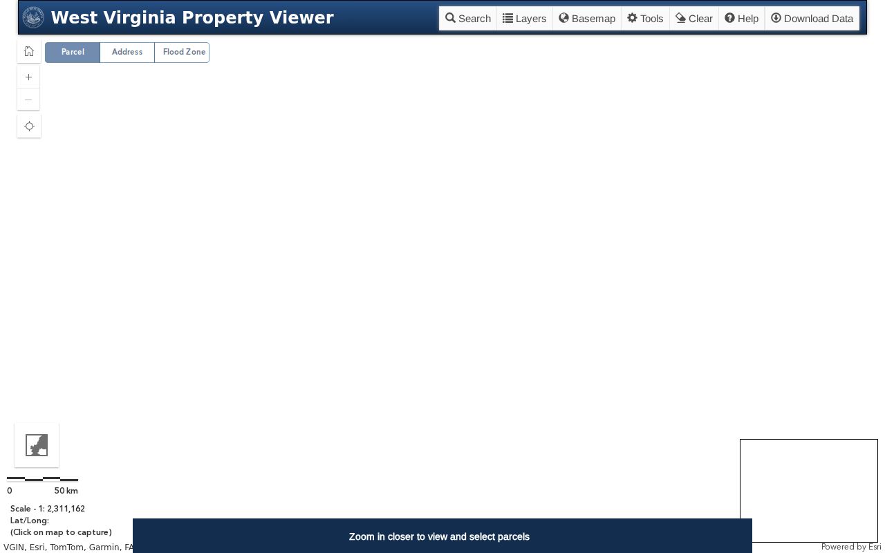
The WV Property Assessment hub is the statewide front door for the assessment search. The parcel viewer exposes address, attribute, geometry, and coordinate routes. The assessment screen separates those paths before a Lincoln County card opens.
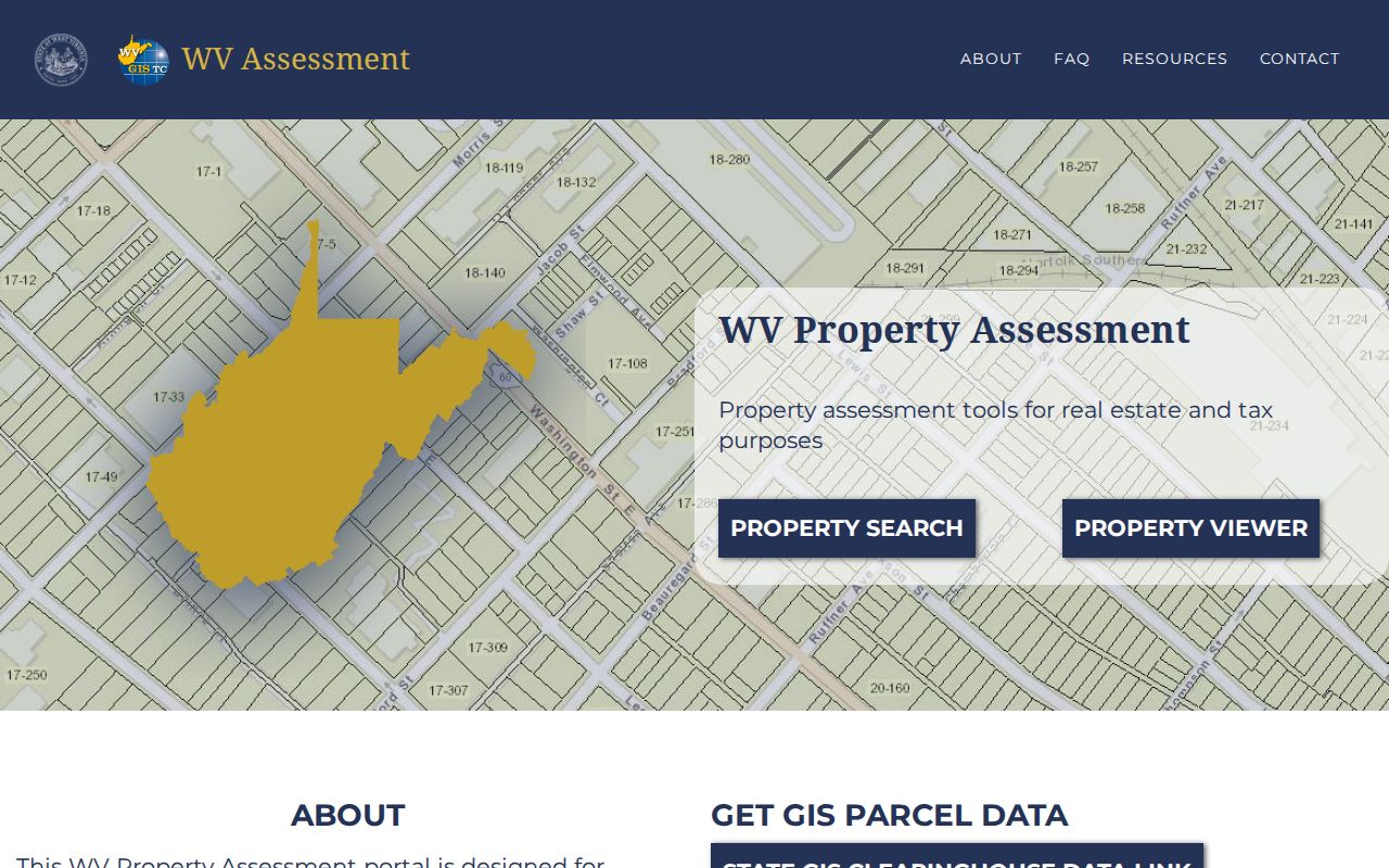
Lincoln County researchers get two linked tools in one place. The home screen separates the assessment search from the map viewer, though each reaches the same parcel data. The WV Property Viewer search screen offers five entry points for a Lincoln County property search: address, owner, parcel, geometry, and coordinate.
Pick a result and the parcel card opens. Confirm the parcel number there first. Then carry the owner of record into another record system for deeper deed records work.
Lincoln County Search and Annual Roll Lag
West Virginia’s assessment portal updates once a year alongside the new tax assessment. That schedule matters. A basic ownership change can trail the recorded deed. Lincoln County’s exact refresh date is not published. So a recent buyer may not show up yet. Check the County Clerk’s latest recorded grantee before assuming the parcel record is wrong. New parcel lines carry the same lag. A split or boundary correction may sit unseen. That can last until the county submits updated geometry and attributes. Ask the Assessor whether a card is current for the tax year in question. Or ask how to report a street or owner-name error. For confirming a transfer, the Lincoln County deed index is the proper next stop. Searching the same annual roll again will not add anything.
Lincoln County Map and Buffer Search
No address? No problem. The statewide viewer lets you find a parcel from a known point using geometry or coordinates. It offers a buffer-size field, a unit menu, and latitude and longitude inputs. Exact buffer units depend on the viewer. Once parcels are selected, you can highlight them, copy a link, or download them as KMZ. Results also export to CSV. That keeps a set of parcel IDs together during a block or boundary review. Treat this as a locator, not a one-click neighbor report. Pick a parcel, note its number, and inspect nearby shapes one at a time. The county’s GIS page links to its ArcGIS map. The statewide viewer works as a fallback when that route is hard to reach. Remember, a line on either map is not a survey. Start small with a buffer. Set a modest distance around a known point and study the returned parcel shapes before widening anything. A buffer can sweep in a parcel across a road or stream. A narrow setting may miss a long rural tract whose center sits farther out. The geometry tools surface candidates. They do not produce a legal neighbor list. Write down the displayed parcel IDs and check each against its detail card. Do not assume every adjacent polygon actually touches the property on the ground. The export options earn their keep here. Highlight and Copy Link preserve a useful map view. KMZ opens in compatible mapping software. CSV holds result rows in a spreadsheet. These files make a Lincoln County search easier to revisit. They do not freeze the county’s annual owner or assessment data. Note when you downloaded the file, then return to the source portal before leaning on it for a later decision.
Choosing a Lincoln County Search Key
Pick the right key for the job. An address starts the lookup. A name gathers every possible parcel. The full parcel ID carries a confirmed match between systems. That choice sits at the heart of a Lincoln County property search. Each key invites its own kind of error. Compare at least one other field before you act on a result.
| Search Key | Best For | Where It Works | Watch Out |
|---|---|---|---|
| Address | One known house, building, or site | WV Property Viewer and GIS | Postal and E-911 labels can differ |
| Owner name | Likely parcels tied to a person or entity | WV Property Viewer and deed index | Same names, trusts, and one-owner list display |
| Parcel number | A match already found on a deed or map | Assessment and parcel systems | GIS, root, and IAS formats omit different parts |
Not a title search. A Lincoln County property search points to records that are available in the roll, map, or index. It does not guarantee clear title or reveal every unrecorded claim. A title company or attorney performs title work.