
Lincoln County Parcel Map Layers
Lincoln County parcel mapping lives in two places. A county GIS page links to a local parcel viewer, and the statewide WV Property Viewer supplies the verified control list. That list includes the E-911 address, county, owner, parcel attributes, the parcel number whole or in parts, a geometry buffer, and coordinates. Select a parcel and the viewer can open an assessment report, flood information, and export tools. The layers are strong for locating a parcel. The deed records and recorded plat still hold the legal wording that controls the land.
| Layer | What It Shows | Use |
|---|---|---|
| Parcel geometry | Tax-map shape and parcel number after zooming to the parcel | Locate a property and its neighbors |
| Ownership and assessment | One owner in results; detail card includes values and report link | Match map to the assessor record |
| Flood information | Effective 100-year and advisory or updated zones | Read as hazard context, not title evidence |
| Delinquent land | Separate map layer updated weekly | Check a tax lead with the Sheriff or Auditor |
| Highlight and export tools | Copy Link, Download KMZ, CSV, and buffer controls | Save or compare selected parcel data |
The county's official route to parcel mapping is its GIS page. It links out to the local viewer. The statewide map adds parcel detail. It also offers export options and finer attribute control than the local application. Use one parcel ID across both. That ID connects the map view to a Lincoln County tax record. The recorded deed still holds the controlling lot wording. A GIS edge is only a tax-map reference.
The Lincoln County GIS landing page links users to the local parcel application.
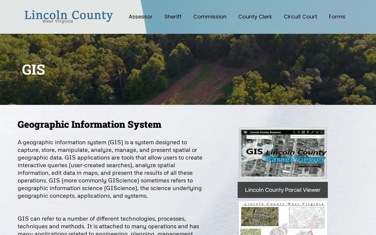
The county link leads to the local map. The state viewer is worth trying when its search controls feel easier to use for Lincoln County parcels.
Reading Lincoln County Parcel Numbers
A Lincoln County parcel number has six root parts. They are the county code, district, map, parcel prefix, parcel suffix, and special ID. The GIS view drops the special ID. CAMA and IAS systems drop the county code instead. The statewide viewer accepts the number whole or in segments and pads each segment to four digits in its explanatory format. Some map labels drop leading zeroes. Keep the full number whenever a record supplies one.
Keep district, map, parcel, and suffix together. Never assume an abbreviated map label matches an IAS or CAMA identifier. When a deed gives lot and block, keep that wording beside the number. Metes and bounds are different. Their calls and acreage often link a rural tract better than a current street name does.
- Parcel number
- A map and assessment key that joins a tax parcel to related records.
- Plat
- A recorded map that lays out lots, blocks, or a division of land.
- Lot and block
- A platted description tied to a named map and lot design.
- Metes and bounds
- A boundary description written as courses, distances, and calls.
Locating a Lincoln County Parcel
Begin with the physical site address. The statewide viewer separates an E-911 or physical address from the owner's mailing address. A community name or ZIP helps. Neither proves the parcel sits inside an incorporated boundary. Hamlin serves as the county seat, West Hamlin is a separate town, and nearby rural labels can cross town and county lines.
When an address is incomplete, the parcel viewer's search modes offer a second path. It accepts owner, street address, parcel number, buffer geometry, or coordinates. A selected card highlights, links, or downloads as KMZ. Results export to CSV. The county page links the local application, while the statewide WV Property Viewer provides the documented control inventory.
- Search the E-911 address, owner, or parcel number and choose the likely result.
- Open its card and copy the full parcel ID, description, and community name.
- Use Highlight or Copy Link to hold the selected shape while you inspect nearby land.
- Compare the selected parcel to its recorded plat or deed description before relying on the line.
- Parcel number (APN)
- The map and roll key used to match one tax parcel.
- Plat
- The recorded map that created or describes lots and blocks.
- Lot and block
- A short legal description that points to a recorded plat.
- Metes and bounds
- A longer land description built from boundary calls and distances.
The WV Property Viewer details each Lincoln County parcel.
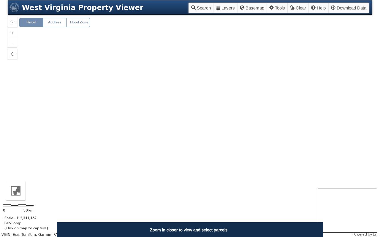
The selected card bridges the map shape to the assessment report. It also pulls related parcel details from the same view.
Lincoln County Deed Acreage and Map Lines
West Virginia treats deeded acreage and GIS acreage differently. Deeded acreage comes from the recorded deed. The state says it controls for assessment. Calculated map acreage is only an estimate. Under 189 CSR 3, deeded area takes precedence. That matters for Lincoln County's rural tracts, where a creek, ridge, or old district description can outlast a street number.
GIS parcel geometry may be old, incomplete, or digitized from paper. When the legal description and the map disagree, keep both. Ask the Assessor how the tax map was built. A licensed surveyer settles boundaries on the ground, though the map still helps you find the parcel and compare it with a recorded plat.
Lincoln County Split Parcel Updates
A new parcel split may not appear in the viewer. The delay lasts until the county submits updated geometry. Transfers between July 1 and June 30 must have revised maps submitted. The deadline is February 1 of the next calendar year. If a line remains wrong after two years, contact the Assessor. The state's annual master file combines county geometry with centralized assessment attributes. Map shape and owner data can therefore change on different schedules.
For a current division, compare the recording date, deed description, tax map, and parcel card. A newly assigned ID may differ from the number printed on an older deed. Keep the old and new identifiers in your notes. Do not erase the link between them.
Lincoln County GIS File Downloads
West Virginia publishes free digital surface tax maps through its state GIS clearinghouse under SB 588. Free GIS files are available there as well. The state master file is rebuilt each year from county parcel geometry and assessment attributes. Anyone working with Lincoln County property records can pull these layers for offline review. The files are map data, though, not a survey. A single parcel exports as KMZ from the viewer. Search results can export as CSV too.
The West Virginia GIS Clearinghouse is the main route to the free map files. For one property, the county-linked parcel viewer is the quicker tool. Record the download date and source with any exported file. A later annual release can redraw parcel geometry or assessment values without notice.
The West Virginia GIS Clearinghouse page explains where the state's downloadable files come from. Those are its surface tax-map files.
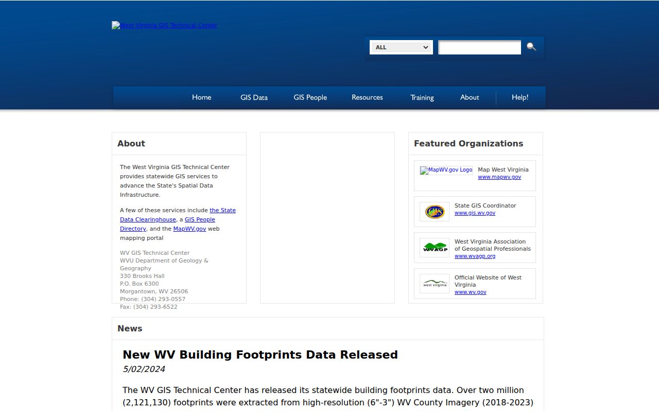
A state file suits a broad map review. The county link stays the practical choice for a single parcel lookup in Lincoln County property records.
Lincoln County Flood and Mineral Map Layers
The statewide map shows effective 100-year flood zones alongside advisory or updated zones. That hazard context matters, but it decides nothing about ownership, title, or a boundary. Delinquent land sits on its own layer, refreshed weekly. It belongs beside the current tax account rather than in place of it. Keep the layer name and date with any note or export.
Mineral parcels never appear in the general viewer. Lincoln County mineral-map availability has to be confirmed with the state Mined Minerals GIS Section. A surface parcel search can therefore miss a separate mineral interest entirely. When a deed mentions minerals, keep that description handy. Ask the state office for the separate map source.
Each layer answers a different question, so read it with its source and date visible. Flood data can flag both effective and advisory zones. Yet it is a screening layer, not a ruling on insurability or a boundary. Delinquent land is a tax-status lead only. Assessment values and parcel shapes do not always update together. That is why a screenshot or exported file should retain its capture date and the layer name.
The same split applies to surface versus mineral ownership. The general parcel viewer helps locate a surface account while omitting a mineral parcel altogether. If an older deed reserves minerals, a blank result in the standard viewer does not mean the interest is absent. Follow the separate Mined Minerals GIS route. Compare the reservation language against the recorded deed records.
What Lincoln County Parcel Maps Cannot Prove
A Lincoln County parcel map shows tax geometry, not the legal edge of every ownership interest. It cannot replace the recorded deed, settle an easement, confirm exact acreage, or prove a line has been surveyed. The county and state both call tax maps reference maps. A parcel can also sit missing or delayed while a split is digitized, so check the deed records before relying on the plat alone.
Not a survey. Lincoln County GIS parcel lines are for reference only. Before building near a boundary or resolving a land dispute, use the deed and hire a licensed surveyor.